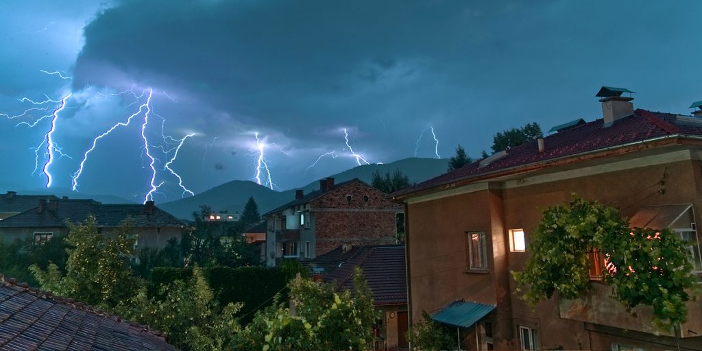
Carriers are facing an increasing number of more destructive catastrophic events due to climate change. Historical data sources and traditional models have not been accurately predictive of recent weather-related loss levels. It’s crucial to look to new advances in data sources and modeling technologies to manage exposure as well as to develop new products, such as parametric insurance.
As an InsurTech company, here’s how you can leverage new climate data:
Climate change is making risk prediction increasingly challenging
Natural disasters are happening more frequently and are becoming increasingly challenging to manage. Wildfires, tsunamis, storms, and heavy rainfalls cause significant losses to agriculture and infrastructure, affecting both people and businesses.
In 2020, we saw record-breaking climate disasters and insurance carriers with catastrophe losses trending well above historical levels. Traditional data sources used for catastrophe risk prediction are based on historical data and may not contain much-needed real-time information as the catastrophe is happening.
As carriers seek to manage losses in moments of disasters, real-time data is crucial for responding to and mitigating losses. Catastrophe data, however, often cannot be sent or analyzed in real-time due to restrictive climate conditions such as cloud or smoke interference.
Qualities of data sources that would advance the predictability of catastrophic events
New environmental data sources with better capabilities to predict loss are needed by insurers. These data sources should have the following characteristics:
- Recency — Data needs to be as close to real-time as possible, yet some fire models only leverage data on an annual or biannual basis. Real-time data will enable services that raise the bar for what customers expect from their insurers regarding responsiveness, personalization, and even loss prevention.
- Finer resolution — Access to more granular information on properties, topography, weather, and environmental conditions will enable carriers to use that information to better quantify risks, price policies, and settle claims.
- More predictive — Historical data is becoming less effective in predicting future risk as climate change has accelerated over the past decade. New real-time data sources (e.g., wind speed, temperature, rainfall, etc.) analyzed via artificial intelligence will greatly increase the efficiency and accuracy of predicting expected losses in the future.
Some startups are providing technologies that more accurately assess climate and property risks
One example of a startup generating real-time catastrophe data is a well-funded satellite company, ICEYE. The company is leveraging advanced satellite technologies to solve multiple carriers’ pain points:
- Increased temporal resolution of an event — Microsatellite constellation allows ICEYE to flexibly change the location and concentration of a satellite swarm as a catastrophic event is happening. This enables the satellites to focus on capturing every detail of that particular event. This capability allows ICEYE to dramatically increase the temporal resolution of image acquisition.
- Data gathering through climate conditions — Active synthetic-aperture radar (SAR) technology is not limited by weather conditions or daylight. A SAR satellite can provide accurate imaging throughout the globe during a climate event, even when there is a tremendous amount of smoke, cloud covering, or rainfall.
ICEYE combines its satellite imagery with auxiliary information sources like digital elevation models (DEM), to demonstrate, analyze, and evaluate the actual impacts of floods or wildfires. The satellite information is analyzed and delivered to carriers’ internal systems within a day.
Another startup, Spark Insights out of MIT, has built a solution that allows carriers to process claims within three days of a catastrophic event. Spark Insights combines satellite, aerial, and other imagery with its AI engine to assess properties at scale, after an event, and provides carriers with severity data needed to assess loss damages, both at the address level and neighborhood level, within three days of an event. Carriers can then proactively process policyholder claims using the information most recently acquired.
Well-known insurance analytics vendor CoreLogic claims they have the industry’s most comprehensive property assessment capability. However, startup HazardHub leverages competitively differentiated and more predictive data sources on ice storms, perennial water, toxic release facility, and medical locations to enrich its risk prediction.
Additionally, HazardHub collects data points such as distance to fire hydrants, proximity to fire stations, level of airport noise, and others to determine a property’s exposure to different risks, such as wildfire, flood, earthquake, and others. This kind of enriched data enables insurance carriers to be more prescriptive in their risk mitigation strategies and more accurate in their pricing models.
New parametric insurance products may be developed using these advanced data sources
Parametric insurance models are based on a set of predefined parameters. When the preset parameter threshold values are breached, claim payments are initiated automatically, greatly increasing the efficiency and cost-effectiveness of claims settlement. In the context of floods, parameters are typically related to weather, flood extent, and depth, which may be ascertained with novel data sources often via proprietary sensor networks.
The underinsurance rate of floods is among the highest under the categorization of natural catastrophe events. According to the Swiss Re Institute, the insurance gap of properties in relation to GDP is 59% in mature markets. The demand for new flood insurance products is leading to the creation of new, highly competitive parametric insurance products. Together with governmental efforts, cost-efficient insurance processes enable faster recovery of flood-damaged areas. The insurance industry may explore developing and offering new parametric insurance products with the help of advanced data.
In the context of wildfires, a parametric policy could be triggered by a combination of acres burned, wind speed, number of days without precipitation, humidity and temperature levels, and lightning activity.
Overall, the use of a parametric policy could allow states to pre-fund part of their most severe wildfire suppression costs and receive inflows of cash more quickly than under traditional policies.


